
Orthophoto Mosaic (2012) for Coral Bay, St. John
This 0.3x0.3 meter imagery mosaic of Coral Bay, St. John in the U.S. Virgin Islands was created by the National Oceanic and Atmospheric Administration (NOAA) using a collection of orthophotos collected by the U.S. Army Corps of Engineers in 2012. This col...
Orthophoto Mosaic (2012) for Fish Bay, St. John
This 0.3x0.3 meter imagery mosaic of Fish Bay, St. John in the U.S. Virgin Islands was created by the National Oceanic and Atmospheric Administration (NOAA) using a collection of orthophotos collected by the U.S. Army Corps of Engineers in 2012. This coll...
Orthophoto Mosaic (2012) of the St. Thomas East End Reserve
This 0.3x0.3 meter imagery mosaic of the St. Thomas East End Reserve (STEER), St. Thomas in the U.S. Virgin Islands was created by the National Oceanic and Atmospheric Administration (NOAA) using a collection of orthophotos collected by the U.S. Army Corp...
NCCOS National Status and Trends Special Study: Assessing Land Based Sources of Pollution in Tinian, Commonwealth of the Northern Mariana Islands, from 2013-08-27 to 2013-08-30
This tabular dataset is the result of field sampling of coral tissues (Pocillopora damicornis) and subsequent laboratory chemical analysis for pollutant levels. The pollutants analyzed included trace elements (Al, Ar, Cd, Cr, Cu, Fe, Pb, Mn, Hg, Ni, Se, A...
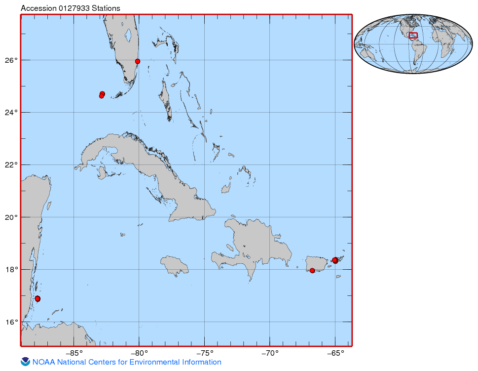 This project was funded for two years by CRCP (FY13-14) and built upon one year of pilot work conducted in FY12 funded by NMFS-SEFSC and SERO as an NRC postdoctoral research fellowship (Huntington). The goals of the project were to characterize natural, r...