Downloadable DataCRCP-Comparative status of extant Acropora cervicornis
Metadata Thumbnail 
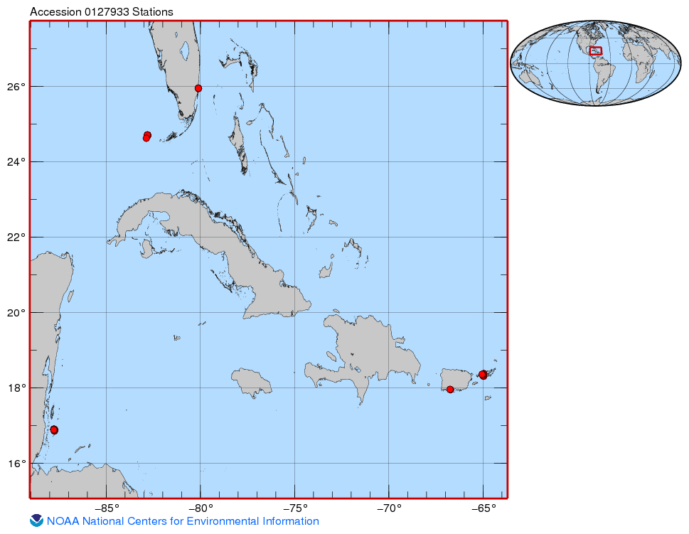
This project was funded for two years by CRCP (FY13-14) and built upon one year of pilot work conducted in FY12 funded by NMFS-SEFSC and SERO as an NRC postdoctoral research fellowship (Huntington). The goals of the project were to characterize natural, r...
Downloadable DataNCCOS National Status and Trends Special Study: Assessing Land Based Sources of Pollution in Tinian, Commonwealth of the Northern Mariana Islands, from 2013-08-27 to 2013-08-30
This tabular dataset is the result of field sampling of coral tissues (Pocillopora damicornis) and subsequent laboratory chemical analysis for pollutant levels. The pollutants analyzed included trace elements (Al, Ar, Cd, Cr, Cu, Fe, Pb, Mn, Hg, Ni, Se, A...
Downloadable Data2014 NOAA NGS Lidar: Intracoastal Waterway, Florida Keys (FL)
Metadata Thumbnail These data were collected by the National Oceanic Atmospheric Administration National Geodetic Survey Remote Sensing Division using a Riegl VQ820G system. The data were acquired from """+str(colbdate)+""" - """+str(coledate)+""". The data includes topoba...
Downloadable Data2014 NOAA NGS Topobathy Lidar: Key West National Wildlife Refuge (FL)
Metadata Thumbnail These data were collected by the National Oceanic Atmospheric Administration National Geodetic Survey Remote Sensing Division using a Riegl VQ880G system. The data were acquired from 20140829 - 20140919. The data includes topobathy data in an LAS 1.2 for...
Downloadable Data2015 NOAA NGS Topobathy Lidar: Dry Tortugas (FL)
Metadata Thumbnail These data were collected by the National Oceanic Atmospheric Administration National Geodetic Survey Remote Sensing Division using a Riegl VQ820G system. The data were acquired from 20150314 - 20150323. The data includes topobathy data in an LAS 1.2 for...
Downloadable Data2016 NOAA NGS Topobathy Lidar: Key West (FL)
Metadata Thumbnail These data were collected by the National Oceanic Atmospheric Administration National Geodetic Survey Remote Sensing Division using a Riegl VQ820G system. The data were acquired from 20160419 - 20160425. The data includes topobathy data in an LAS 1.2 for...
Downloadable Data2016 NOAA NGS Topobathy Lidar: Florida Keys Outer Reef Block 01
Metadata Thumbnail These data were collected by the National Oceanic Atmospheric Administration National Geodetic Survey Remote Sensing Division using a Riegl VQ820G system. The data were acquired from 20160721 - 20161121. The data includes topobathy data in an LAS 1.2 for...
Downloadable Data2016 NOAA NGS Topobathy Lidar: Florida Keys Outer Reef Block 02
Metadata Thumbnail These data were collected by the National Oceanic Atmospheric Administration National Geodetic Survey Remote Sensing Division using a Riegl VQ820G system. The data were acquired from 20160721 - 20161121. The data includes topobathy data in an LAS 1.2 for...
Downloadable Data2016 NOAA NGS Topobathy Lidar: Florida Keys Outer Reef Block 03
Metadata Thumbnail These data were collected by the National Oceanic Atmospheric Administration National Geodetic Survey Remote Sensing Division using a Riegl VQ820G system. The data were acquired from 20160721 - 20161121. The data includes topobathy data in an LAS 1.2 for...
Downloadable Data2017 NOAA NGS Topobathy Lidar: Florida Keys Outer Reef, Block 04
Metadata Thumbnail These data were collected by the National Oceanic Atmospheric Administration National Geodetic Survey Remote Sensing Division using a Riegl VQ880G system. The data were acquired from 20170216 - 20170220. The data includes topobathy data in an LAS 1.2 for...