Downloadable Data2006 NOAA Bathymetric Lidar: Puerto Rico (Southwest)
Metadata Thumbnail This data set (Project Number OPR-I305-KRL-06) depicts depth values (mean 5 meter gridded) collected using LiDAR (Light Detection & Ranging) from the shoreline of southwestern Puerto Rico to the shelf edge. The Tenix LADS Corporation (TLI) acquired bathym...
Downloadable Data2014 NOAA NGS Topobathy Lidar: Key West National Wildlife Refuge (FL)
Metadata Thumbnail These data were collected by the National Oceanic Atmospheric Administration National Geodetic Survey Remote Sensing Division using a Riegl VQ880G system. The data were acquired from 20140829 - 20140919. The data includes topobathy data in an LAS 1.2 for...
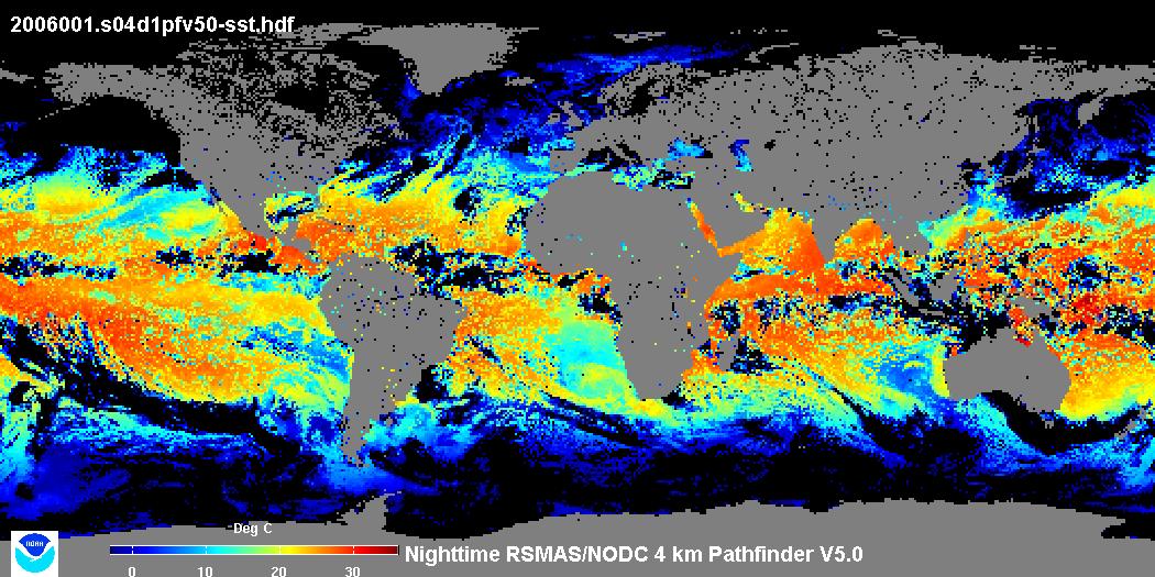
Downloadable Data4 km NODC/RSMAS AVHRR Pathfinder v5.0 and Interim v5.0 Sea Surface Temperature (SST) Data and v5.1 SST Data for 1981-2009
Metadata Thumbnail The 4 km Pathfinder effort at the National Oceanic and Atmospheric Administration (NOAA) National Oceanographic Data Center (NODC) and the University of Miami's Rosenstiel School of Marine and Atmospheric Science (RSMAS) is an extension of and improvement...
Downloadable Data2015 NOAA NGS Topobathy Lidar: Puerto Rico
Metadata Thumbnail These data were collected by the National Oceanic Atmospheric Administration National Geodetic Survey Remote Sensing Division using a Riegl VQ-820G system. The data were acquired from 201410- 201505 in fifty three missions along the coastline of Puerto R...
Downloadable Data2015 NOAA NGS Topobathy Lidar: Dry Tortugas (FL)
Metadata Thumbnail These data were collected by the National Oceanic Atmospheric Administration National Geodetic Survey Remote Sensing Division using a Riegl VQ820G system. The data were acquired from 20150314 - 20150323. The data includes topobathy data in an LAS 1.2 for...
Downloadable Data2016 NOAA NGS Topobathy Lidar: Key West (FL)
Metadata Thumbnail These data were collected by the National Oceanic Atmospheric Administration National Geodetic Survey Remote Sensing Division using a Riegl VQ820G system. The data were acquired from 20160419 - 20160425. The data includes topobathy data in an LAS 1.2 for...
Downloadable Data2015 NOAA NGS Topobathy Lidar DEM: Puerto Rico
These data were collected by the National Oceanic Atmospheric Administration National Geodetic Survey Remote Sensing Division using a Riegl VQ-820G system. The data were acquired from 201410- 201505 in fifty three missions. The data includes topobathy d...
Downloadable Data2016 NOAA NGS Topobathy Lidar: Florida Keys Outer Reef Block 02
Metadata Thumbnail These data were collected by the National Oceanic Atmospheric Administration National Geodetic Survey Remote Sensing Division using a Riegl VQ820G system. The data were acquired from 20160721 - 20161121. The data includes topobathy data in an LAS 1.2 for...
Downloadable Data2016 NOAA NGS Topobathy Lidar: Florida Keys Outer Reef Block 03
Metadata Thumbnail These data were collected by the National Oceanic Atmospheric Administration National Geodetic Survey Remote Sensing Division using a Riegl VQ820G system. The data were acquired from 20160721 - 20161121. The data includes topobathy data in an LAS 1.2 for...
Downloadable Data2017 NOAA NGS Topobathy Lidar: Florida Keys Outer Reef, Block 04
Metadata Thumbnail These data were collected by the National Oceanic Atmospheric Administration National Geodetic Survey Remote Sensing Division using a Riegl VQ880G system. The data were acquired from 20170216 - 20170220. The data includes topobathy data in an LAS 1.2 for...