
2004 USACE Puerto Rico Lidar
This record describes Light Detection and Ranging (Lidar) data acquired for the island of Puerto Rico. The data were acquired for
USACE, St. Louis District by 3001, Inc., between January 10 and February 8, 2004. The mission was flown at a density sufficie...

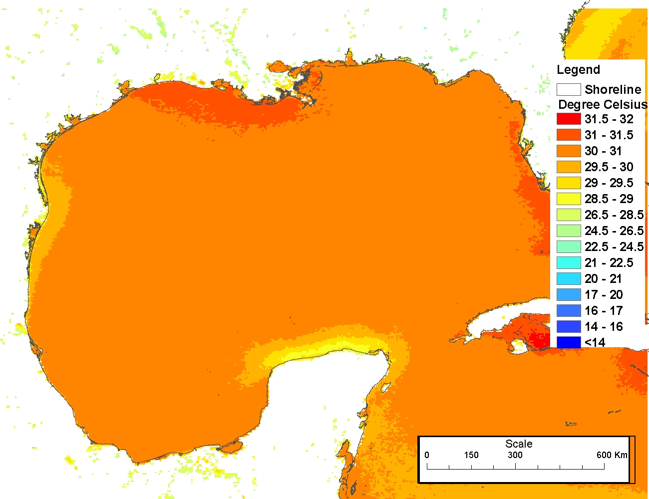
Sea surface temperatures from AVHRR
The production of these AVHRR L2P data is a NEODAAS activity in collaboration with the UK National Centre for Ocean Forecasting (NCOF). NEODAAS-Dundee acquires approx. 15 AVHRR HRPT passes per day over NW Europe and Arctic, each approx. 15 minutes duratio...
 The 4 km Pathfinder effort at the National Oceanic and Atmospheric Administration (NOAA) National Oceanographic Data Center (NODC) and the University of Miami's Rosenstiel School of Marine and Atmospheric Science (RSMAS) is an extension of and improvement...
 This data set (Project Number OPR-I305-KRL-06) depicts depth values (mean 5 meter gridded) collected using LiDAR
(Light Detection & Ranging) from the shoreline of southwestern Puerto Rico to the shelf edge. The Tenix LADS Corporation
(TLI) acquired bathym...
This data set (Project Number OPR-I305-KRL-06) depicts depth values (mean 5 meter gridded) collected using LiDAR
(Light Detection & Ranging) from the shoreline of southwestern Puerto Rico to the shelf edge. The Tenix LADS Corporation
(TLI) acquired bathym...
 This data set contains a set of monthly and yearly global day-night sea surface temperature averages, derived from the AVHRR Pathfinder Version 5 sea surface temperature cloudscreened data set (http://pathfinder.nodc.noaa.gov) in GeoTIFF format. The AVHRR...
 The 4 km Pathfinder effort at the National Oceanic and Atmospheric Administration (NOAA) National Oceanographic Data Center (NODC) and the University of Miami's Rosenstiel School of Marine and Atmospheric Science (RSMAS) is an extension of and improvement...
 These files contain classified topo/bathy lidar data. Data are classified as 1 (valid non-ground topographic data), 2 (valid ground topographic data), and 29 (valid bathymetric data). Classes 1 and 2 are defined in accordance with the American Society for...