 Eco-spatial data layers of coral reef ecosystem drivers in American Samoa
Understanding the spatial distribution, intensity, overlap, and cumulative impact of human activities and environmental stressors is essential for effective management and protection of ecosystem services generated by coral reefs. The data described here ...
 Initiate development of LBSP GIS web-layers
 This interactive map displays American Samoa data collected by the NOAA Coral Reef Ecosystem Division (CRED) during the Pacific Reef Assessment and Monitoring Program (RAMP) cruises. The information presented is a combination of standard CRED monitoring s...
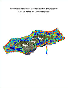 "This document is a guide to the derivation of a variety of terrain metrics and descriptive measures of landscape composition. These metrics are to be used in support of the Linkages? project, which is evaluating the relationship of terrain to fish and co...
 This data set contains a set of monthly and yearly global day-night sea surface temperature averages, derived from the AVHRR Pathfinder Version 5 sea surface temperature cloudscreened data set (http://pathfinder.nodc.noaa.gov) in GeoTIFF format. The AVHRR...
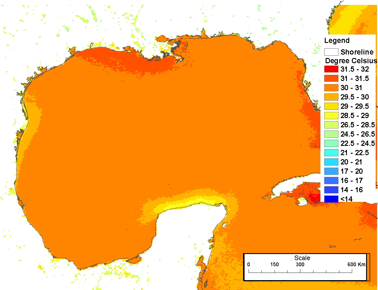 The 4 km Pathfinder effort at the National Oceanic and Atmospheric Administration (NOAA) National Oceanographic Data Center (NODC) and the University of Miami's Rosenstiel School of Marine and Atmospheric Science (RSMAS) is an extension of and improvement...