Algal species and other data collected using photographs in the southern coast of the island of Ofu from 08 September 1992 to 11 September 1992 (NODC Accession 9800197)
The US Congress has authorized the Department of the Interior to enter into a lease agreement with the Governor of American Samoa to establish the National Park of American Samoa. This park would include a nearshore reef along the southern coast of the is...

Goddard and Caldwell Oahu, Hawaii Surf Observation Dataset for 1968-2004 (NODC Accession 0001754)
Surf reports are typically made several times per day at select
locations around Oahu, primarily by Honolulu City and County lifeguards
and the Surf News Network, Inc. Wave heights are reported in Hawaii Scale
Feet, which systematically underestimates b...

Environmental Sensitivity Index (ESI) Atlas, Gulf of Mexico, Upper Coast of Texas PDFs 1996, Louisiana 2003, Mississippi 2009, Alabama 2007, Florida 1995-2003 maps and geographic information systems data (NODC Accession 0064870)
The most widely used approach to sensitive environment mapping in the U.S. is NOAA's Environmental Sensitivity Index (ESI). This approach systematically compiles information in standard formats for coastal shoreline sensitivity, biological resources, and ...
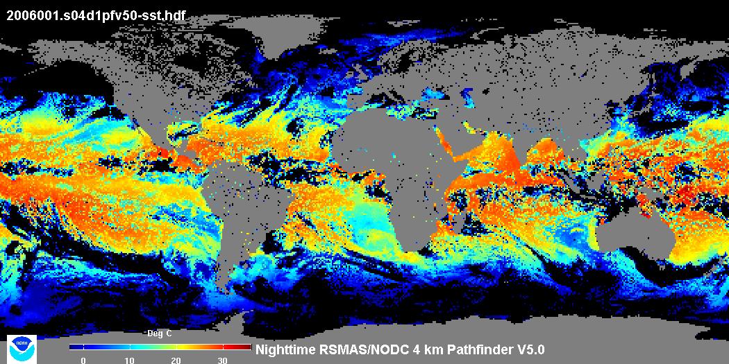
 4 km AVHRR Pathfinder v5.0 Global Day-Night Sea Surface Temperature Averages, 1985-2009 (NODC Accession 0077816)
 This data set contains a set of monthly and yearly global day-night sea surface temperature averages, derived from the AVHRR Pathfinder Version 5 sea surface temperature cloudscreened data set (http://pathfinder.nodc.noaa.gov) in GeoTIFF format. The AVHRR...
 The 4 km Pathfinder effort at the National Oceanic and Atmospheric Administration (NOAA) National Oceanographic Data Center (NODC) and the University of Miami's Rosenstiel School of Marine and Atmospheric Science (RSMAS) is an extension of and improvement...
 The Coral Reef Temperature Anomaly Database (CoRTAD) is a collection of sea
surface temperature (SST) and related thermal stress metrics, developed specifically
for coral reef ecosystem applications but relevant to other ec...