
Vessel Use in the Florida Keys National Marine Sanctuary
"Aerial surveys were conducted to characterize boating patterns throughout the Florida Keys National Marine Sanctuary (FKNMS or Sanctuary). Most surveys were conducted in a 4-seat fixed (high) wing Cessna 172, although occasionally, flights were conducted...
Hurricane Hole, St. John, USVI: corals with a resilient microbiome
"The health of coral reefs worldwide is in decline, but certain reefs exhibit resistance to many global and local stressors. We aim to study these locations to identify factors within corals that make them resilient. After several bleaching and disease ev...

Vessel use in the Florida Keys National Marine Sanctuary collected through aerial surveys between 2016-02-02 to 2017-01-21 (NCEI Accession 0206105)
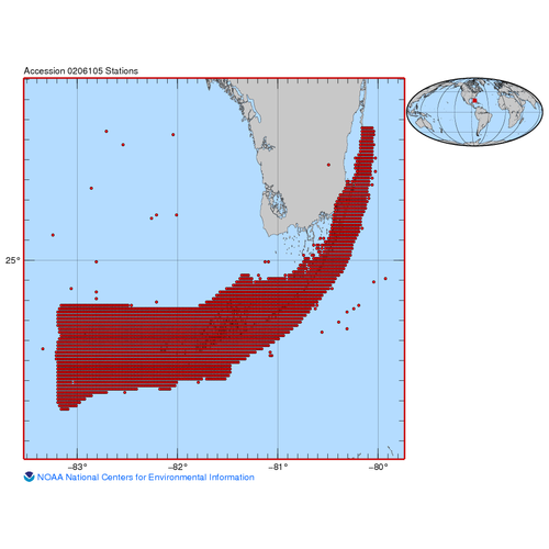
This report and data set provides baseline data of the types of boats, the location of boats, the abundance of boats, and the activities of the people on the boats. The report is largely descriptive, including boat count and boat densities. Basic patterns...
Biological correlates of sea urchin recruitment in kelp forest and urchin barren habitats
Shifts between the alternate stable states of sea urchin barren grounds and kelp forests correspond to sea urchin density. In the Aleutian Archipelago, green sea urchins Strongylocentrotus polyacanthus are the dominant herbivores that graze kelp forests. ...
NOAA Ortho-rectified Mosaic from Color Aerial Imagery of CHOCTAWHATCHEE BAY, FL, 2009 - 2010 (NODC Accession 0086137)
This data set contains ortho-rectified mosaic tiles, created as a product from the NOAA Integrated Ocean and Coastal Mapping (IOCM) initiative of CHOCTAWHATCHEE BAY. The source imagery was acquired on November 12, 2009, November 13, 2009 and October 05, ...
Fisheries-Independent Biological and Environmental Trawl Data from the Louisiana Department of Wildlife and Fisheries (1986-2007) as Part of the Comparative Assessment of Gulf Estuarine Systems (CAGES) Database (NODC Accession 0115183)
The CAGES program (Comparative Assessment of Gulf Estuarine Systems) is designed to examine the differences between estuarine ecosystems and investigate why some are more productive than others. The program focuses on estuarine areas important to commerci...