
Broward County Florida Reef Track Thermographic Data Sept 2000 - Oct 2002, (NODC Accession 0000829)
Broward County Florida has responsibility for the resource management of coral reefs in marine waters adjacent to Broward County. The Department of Planning and Environmental Protection is assigned the duties of monitoring the health of the coral reefs. ...
Coral and artificial reef shape files, Broward County, Florida, (NODC Accession 0000244)
Coral reef and artificial reef location shape files and accompanying table files for reefs located off shore of Broward County, Florida. Accompanying "attribute" tables provide information on artificial reef type, date of creation, and associated informa...
Phaeopigments, chemical, and other data from salinometer, fluorometer, and other instruments in the Coastal Waters of Hawaii as part of the Mamala Bay Study project, 1989-01-01 to 1994-12-31 (NCEI Accession 9800089)
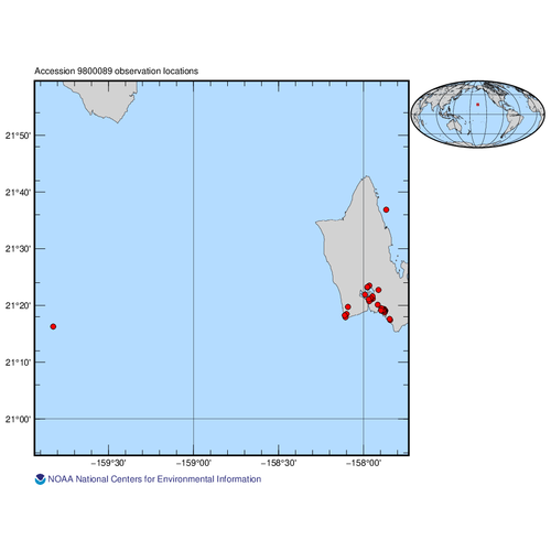
This dataset includes effluent water quality data for National Pollutant Discharge Elimination System (NPDES) permit holders in the Mamala Bay region.
Phaeopigments, chemical, and other data were collected using salinometer, fluorometer, and other instru...
2007 JALBTCX Topographic Lidar: Saipan, CNMI
These files contain topographic lidar data collected by the CHARTS system in Saipan, CNMI. This file contains both first and last
returns. The data points representing bare earth have been classified as such using TerraScan. Classification values are:
Cl...
2007 Palm Beach County Orthorectified photos of the County's estuarine waters including the Lake Worth Lagoon. Used for mapping essential fish habitat (NODC Accession 0061752)
2007 Palm Beach County Mapping Digital Orthorectified photos and Mosaics of 1:10000 scale natural color aerial photography were created. Imagery was flown on June 20 & 22, July 21, and August 4 & 8, 2007. Additionally, there was 1:4800 scale natural co...
2007 Palm Beach County Essential Fish Habitat Mapping of Seagrass, Mangroves, Oysters, and Spartina in estuarine waters. (NODC Accession 0061752)
2007 Palm Beach County Mapping Project photointerpreted from June 20 & 22, July 21, and August 4 & 8, 2007 1:10,000 scale and July 1, 2007 1:4,800 scale natural color aerial photography of the entire Lake Worth Lagoon system and the ICW throughout Palm Be...