
Linkages between reef fish demographics and benthic habitat characteristics in Tutuila, American Samoa and Main Hawaiian Islands
Benthic habitats play vital roles in the distribution and abundances of marine resources. Understanding how fish populations respond to variability of benthic habitat characteristics is essential for effective coral reef management and monitoring. A pilot...
Eco-spatial data layers of coral reef ecosystem drivers in American Samoa
Understanding the spatial distribution, intensity, overlap, and cumulative impact of human activities and environmental stressors is essential for effective management and protection of ecosystem services generated by coral reefs. The data described here ...
Pacific Reef Assessment and Monitoring Program: Geospatial, temperature, and depth data collected during towed-diver surveys of coral reef ecosystems across the U.S. Pacific Islands from 2000-09-09 to 2017-06-20 (NCEI Accession 0189889)
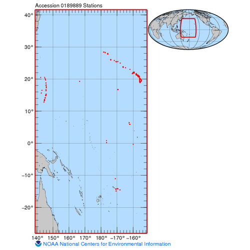
The geospatial, temperature and depth data included in this dataset are from towed-diver surveys (also referred to as towboard surveys) of coral reef ecosystems conducted during Pacific Reef Assessment and Monitoring Program (RAMP) cruises to the Hawaiian...
Inlet contributing areas to southeast Florida inlets and adjacent coral reefs
The inlet contributing areas (ICAs) were delineated using the WATERSHED feature class in the SFWMD_s ArcHydro Extended Database. The watershed boundaries were modified based on the flow direction in the HYDROEDGE feature class, published reports for the S...
 Declining health of coral reef ecosystems led scientists to search for factors that support reef resilience: the ability of reefs to resist and recover from environmental disturbance. Scientists recently identified 11 measurable factors that affect the re...