
Linkages between reef fish demographics and benthic habitat characteristics in Tutuila, American Samoa and Main Hawaiian Islands
Benthic habitats play vital roles in the distribution and abundances of marine resources. Understanding how fish populations respond to variability of benthic habitat characteristics is essential for effective coral reef management and monitoring. A pilot...
Pacific Reef Assessment and Monitoring Program: Geospatial, temperature, and depth data collected during towed-diver surveys of coral reef ecosystems across the U.S. Pacific Islands from 2000-09-09 to 2017-06-20 (NCEI Accession 0189889)
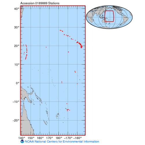
The geospatial, temperature and depth data included in this dataset are from towed-diver surveys (also referred to as towboard surveys) of coral reef ecosystems conducted during Pacific Reef Assessment and Monitoring Program (RAMP) cruises to the Hawaiian...
Accuracy Assessment Field Data for American Samoa
This project is a cooperative effort among the National Ocean Service, National Centers for Coastal Ocean Science, Center for Coastal Monitoring and Assessment; the University of Hawaii; BAE Systems Spectral Solutions; and Analytical Laboratories of Hawai...
Ground Validation GPS for American Samoa
This project is a cooperative effort among the National Ocean Service, National Centers for Coastal Ocean Science, Center for Coastal Monitoring and Assessment; the University of Hawaii; BAE Systems Spectral Solutions; and Analytical Laboratories of Hawai...
Buck Island National Monument Accuracy Assessment Point Data for Benthic Habitats of Puerto Rico and the U.S. Virgin Islands
This project is a cooperative effort among the National Ocean Service, National Centers for Coastal Ocean Science, Center for Coastal Monitoring and Assessment; the United States Geological Survey; the National Park Service; and the National Geophysical D...
 Declining health of coral reef ecosystems led scientists to search for factors that support reef resilience: the ability of reefs to resist and recover from environmental disturbance. Scientists recently identified 11 measurable factors that affect the re...