 Amouli sea level rise vertical
"Video (10 seconds) showing vertical projection of sea-level rise scenario on the coast of the village of Amouli on the southeast coast of Tutuila Island, American Samoa. This video does not contain audio."
 Amouli sea level rise vertical
 Fagaloa coastal uses mapping - American Samoa 2012 - Aggregated fishing uses. Aggregated Recreation uses
 Amouli sea level rise perspective
 Socioeconomic survey on the marine environment, pollution, and village adaptive capacity: Vatia, Aunuu and Faga'alu Villages survey results, October and November 2014
 "During October and November, 2014 socioeconomic resident surveys were conducted in three villages on Tutuila Island, American Samoa. The purpose of the survey was to gain a better understanding regarding: archive_bootstrap backup {BASEDIR} bleach_alerts ...
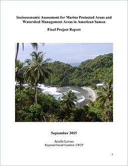
 Socioeconomic assessment for marine protected areas and watershed management areas in American Samoa
 "This project implemented socioeconomic surveys in key villages associated with marine protected areas and watershed management areas in American Samoa. Surveys were administered during 2012-2013 in ten Community-based Fisheries Management Program (CFMP) ...