Benthic Habitat Maps for Rose Atoll Marine National Monument in American Samoa from 2004 to 2010
Benthic habitat maps for Rose Atoll, American Samoa were derived from high resolution, multispectral satellite imagery for 2004, 2006, and 2010. The benthic habitat maps for 2004 were previously generated by NOAA's NCCOS's BioGeography Branch before this ...
Hard and Soft Bottom Seafloor Substrate Map Derived from an Unsupervised Classification of Gridded Bathymetry Derivatives for the NOAA Habitat Blueprint West Hawaii Focus Area
Hard and soft bottom seafloor substrate data and maps for the NOAA Habitat Blueprint West Hawaii Focus Area (WHFA) in the Main Hawaiian Islands. Cell values in the raster datasets reflect whether the seafloor is hard bottom or soft bottom based on an unsu...
Pacific Reef Assessment and Monitoring Program: Water Chemistry of the Coral Reefs across the U.S.-affiliated Pacific Islands from Water Samples collected from 2012 to 2014
Water samples are collected and analyzed to assess spatial and temporal variation in the seawater carbonate systems of coral reef ecosystems in the Hawaiian and Mariana Archipelagos, American Samoa, and the Pacific Remote Island Areas as part of the NOAA ...
CRCP-Comparative status of extant Acropora cervicornis
This project was funded for two years by CRCP (FY13-14) and built upon one year of pilot work conducted in FY12 funded by NMFS-SEFSC and SERO as an NRC postdoctoral research fellowship (Huntington). The goals of the project were to characterize natural, r...
Slope Grid Derived from Gridded Bathymetry for Select U.S. Coral Reef Locations across the Pacific Ocean
Slope is derived for islands and banks across the U.S. Pacific Islands Region primarily from gridded multibeam bathymetry collected aboard NOAA Ships Hi'ialakai and Oscar Elton Sette, and aboard R/V AHI (Acoustic Habitat Investigator) from 2003 to 2012 by...
Rugosity Grid Derived from Gridded Bathymetry for Select U.S. Coral Reef Locations across the Pacific Ocean
Rugosity is derived for islands and banks across the U.S. Pacific Islands Region primarily from gridded multibeam bathymetry collected aboard NOAA Ships Hi'ialakai and Oscar Elton Sette, and aboard R/V AHI (Acoustic Habitat Investigator) from 2003 to 2012...
Bathymetric Position Index (BPI) Zones Grid Derived from Gridded Bathymetry for Select U.S. Coral Reef Locations across the Pacific Ocean
Bathymetric Position Index (BPI) Zones are derived for islands and banks across the U.S. Pacific Islands Region from a focal mean analysis on bathymetry and slope, and were created using the Benthic Terrain Modeler. Cell values represent one of 4 classes ...
Bathymetric Position Index (BPI) Structures Grid Derived from Gridded Bathymetry for Select U.S. Coral Reef Locations across the Pacific Ocean
Bathymetric Position Index (BPI) Structures are derived for islands and banks across the U.S. Pacific Islands Region from a focal mean analysis on bathymetry and slope, and were created using the Benthic Terrain Modeler. Cell values represent one of 13 cl...
Scleractinian Coral Cover Maps Derived from Classified in situ Seafloor Imagery for Select U.S. Locations in the Pacific from 2001 to 2015
Coral cover maps depict percentage of scleractinian (hard) coral cover along survey tracks, overlain on existing bathymetric grids and/or satellite images, for islands and banks across the U.S. Pacific Islands Region. The coral cover data is derived from ...
2018 USACE FEMA Topobathy Lidar: Main Island, Culebra, and Vieques, Puerto Rico
These files contain classified topo/bathy lidar data collected after Hurricane Maria. Data are classified as 1 (valid non-ground topographic data), 2 (valid ground topographic data), and 29 (valid bathymetric data). Classes 1 and 2 are defined in accordan...
 Benthic Habitat Maps for Rose Atoll Marine National Monument in American Samoa from 2004 to 2010
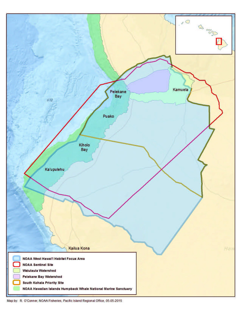 Hard and soft bottom seafloor substrate data and maps for the NOAA Habitat Blueprint West Hawaii Focus Area (WHFA) in the Main Hawaiian Islands. Cell values in the raster datasets reflect whether the seafloor is hard bottom or soft bottom based on an unsu...
 Water samples are collected and analyzed to assess spatial and temporal variation in the seawater carbonate systems of coral reef ecosystems in the Hawaiian and Mariana Archipelagos, American Samoa, and the Pacific Remote Island Areas as part of the NOAA ...
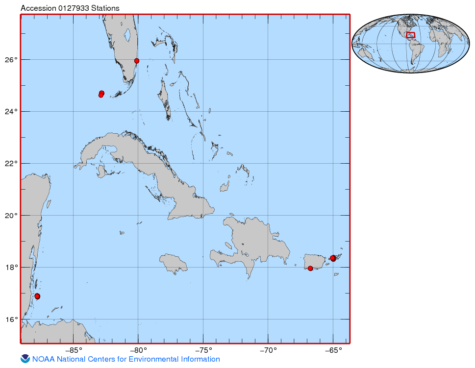 This project was funded for two years by CRCP (FY13-14) and built upon one year of pilot work conducted in FY12 funded by NMFS-SEFSC and SERO as an NRC postdoctoral research fellowship (Huntington). The goals of the project were to characterize natural, r...
 These files contain classified topo/bathy lidar data collected after Hurricane Maria. Data are classified as 1 (valid non-ground topographic data), 2 (valid ground topographic data), and 29 (valid bathymetric data). Classes 1 and 2 are defined in accordan...