noaa.gov

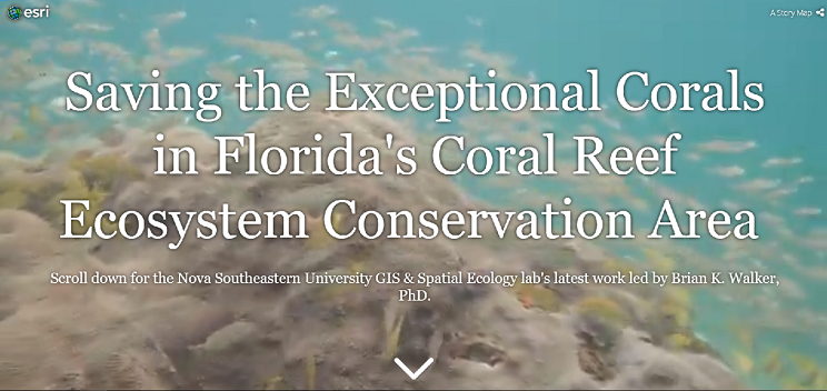
Saving the Exceptional Corals in Florida's Coral Reef Ecosystem Conservation Area

Nova Southeastern University's story map on the GIS and Spatial Ecology lab's work in Florida's Coral Reef Ecosystem Conservation Area.

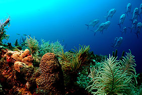
Florida's Coral Reef stretches approximately 360 linear miles from St. Lucie Inlet in Martin County past Key West to the Dry Tortugas, including Biscayne National Park, the Florida Keys National Marine Sanctuary, and the Southeast Florida Coral Reef Ecosystem Conservation Area.

In March 2018, the Coral Ecosystem Conservation Area was established to protect and manage the offshore reef habitats within the area.

Since 2013, Nova Southeastern University's GIS and Spatial Ecology laboratory has been working to document the location of large corals throughout Florida's Coral Reef. These corals, most of which are listed as threatened on the endangered species list, are up to 300 years old and have been hit hard by stony coral tissue loss disease. The lab has been funded by state and federal partners to keep these ecologically important corals alive through the latest disease intervention techniques.

Learn more about the GIS and Spatial Ecology lab in the following story map: Saving the Exceptional Corals in Florida's Coral Reef Ecosystem Conservation Area.


For more information contact:

coralreef@noaa.gov or

dana.wusinich-mendez@noaa.gov